
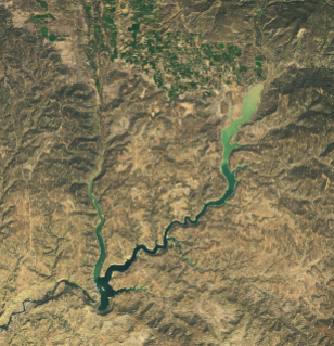
Back-to-back extreme rain events inundated the Four Corners region of the U.S. Southwest in late October and early November 2026. The storms alleviated short-term drought conditions in the Southwest but caused river levels to spike to record or near-record levels in places, triggering damaging floods. One effect of the heavy rains detected by satellites was the rapid rise of water levels in Navajo Reservoir. The change is visible in the images above, acquired on September 20 (left) and November 7 (right) with the OLI (Operational Land Imager) on Landsat 9….


